By Tyler Christiansen
STEMIA SW Junior High Options
What happens when you mix high-tech aviation, advanced geospatial mapping, and video game engines? You get an absolutely unforgettable day of hands-on learning.
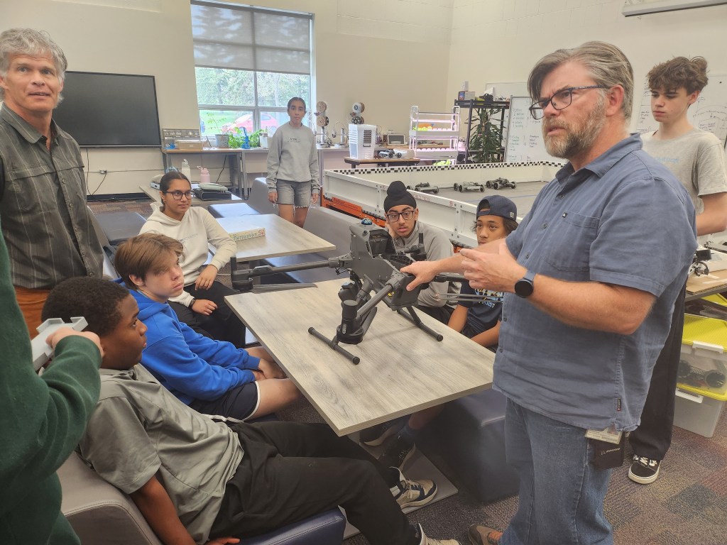
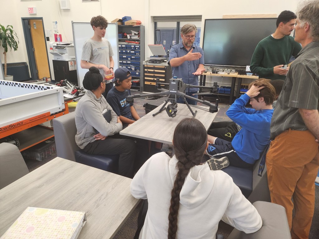
We were thrilled to welcome some drone professors from the Southern Alberta Institute of Technology (SAIT) to our campus recently. Allister Schreiber, Marwan Soliman, and Jay Reid. They didn’t just bring their expertise—they brought some of the most advanced enterprise drone tech on the market to show us how the physical world gets converted into digital data.
Part 1: The Gear and Ground School
The students started the day indoors for a quick “ground school” session. Allister took them through the mechanics of how modern drones operate and, more importantly, how industries use them for complex, automated tasks. Marwan walked students through how ground sensors and rovers work.
The team brought two incredible pieces of drone hardware:
- DJI Matrice 4E: A compact but incredibly powerful drone designed for precision mapping and inspection.
- DJI Matrice400: An absolute beast of an industrial drone. They showed off its massive enterprise zoom camera by focusing on the other side of the Glenmore Reservoir. From 3.5 kilometers away, we could see individual tree branches in sharp, stunning detail.
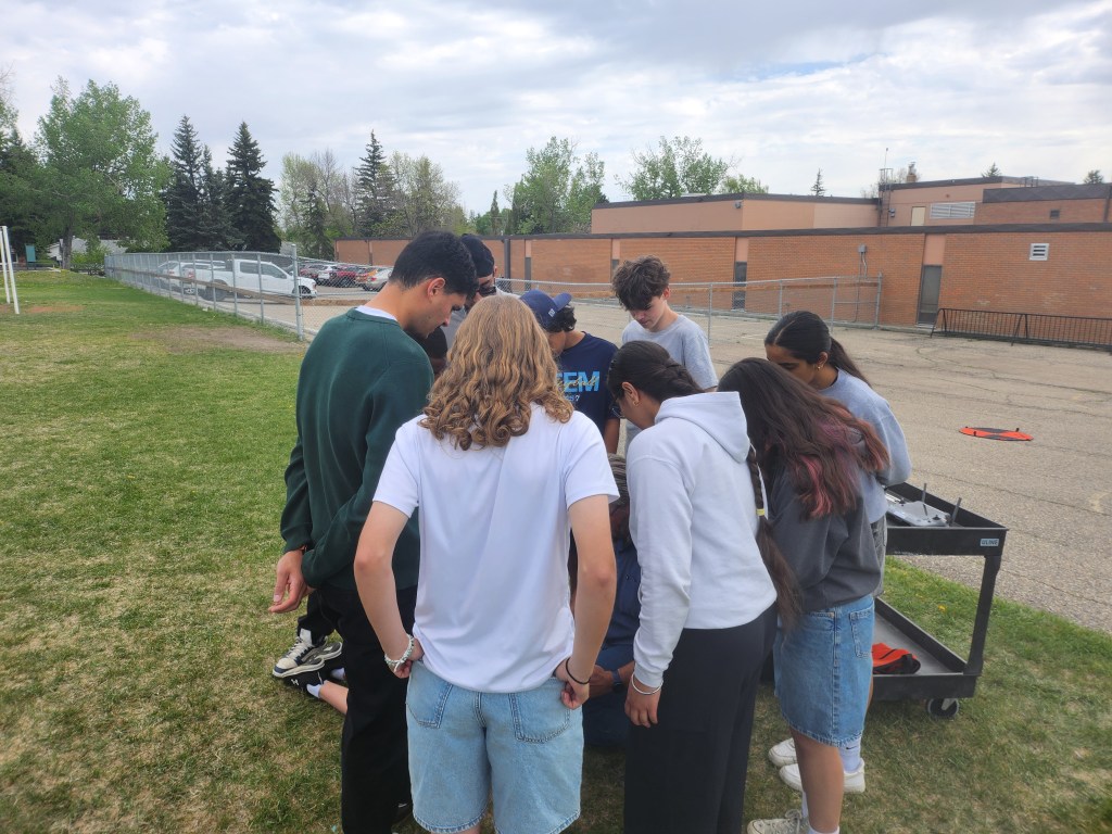
After looking at the hardware, it was time to program. Instead of just flying manually with joysticks, the students were showed how to setup an autonomous mission—setting custom flight paths, speeds, and overlapping photo grids for the drone to follow.
Part 2: Taking to the Skies
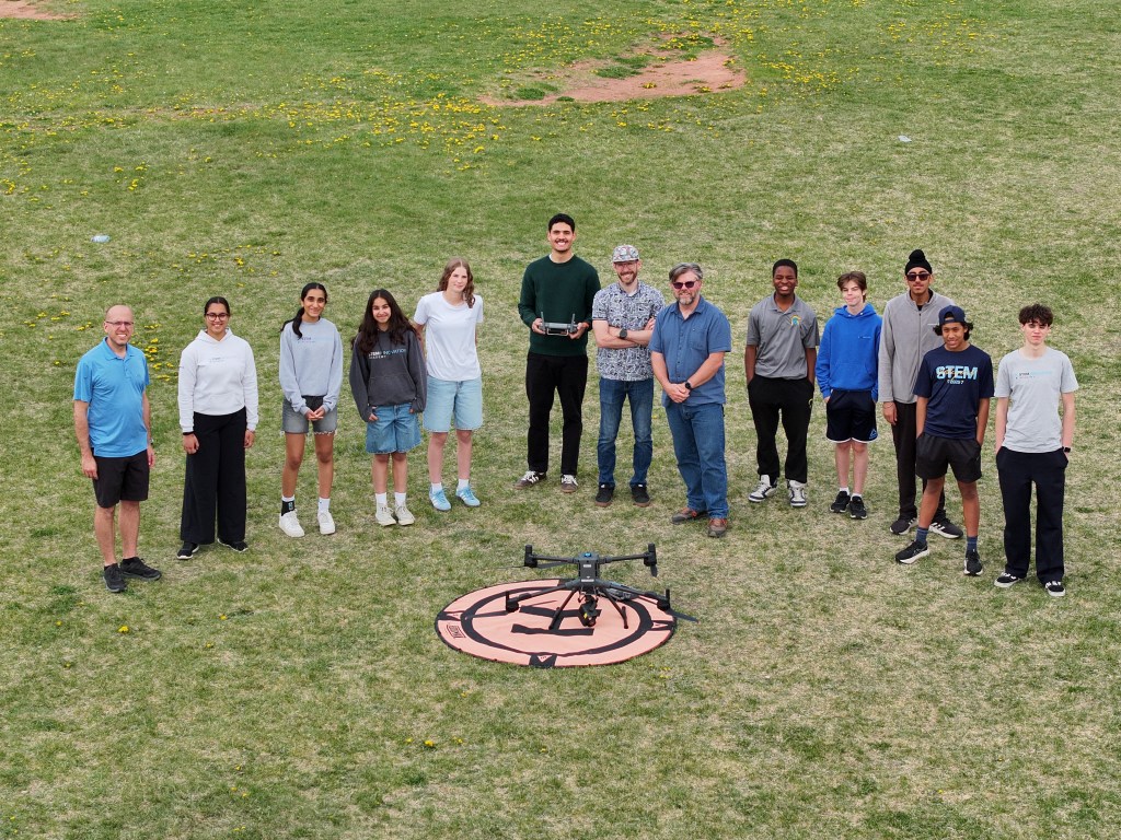
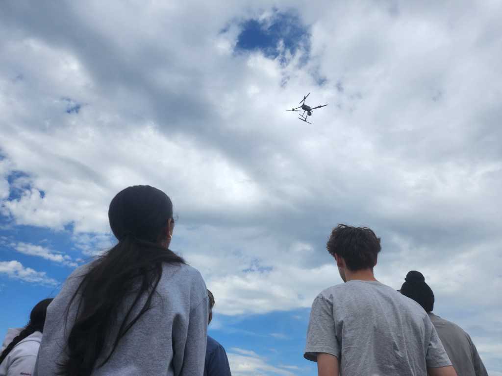
With our autonomous flight plan locked in, we headed out to the school field. Watching the Matrice 4E take off and execute the mission entirely on its own was incredible.
Autonomous drones fly back and forth over a grid, capturing overlapping photos to map the terrain below.
As it flew precise lines back and forth across the yard, it captured hundreds of overlapping high-resolution photos. Every picture contained embedded GPS data, tracking exactly where it was taken in three-dimensional space.
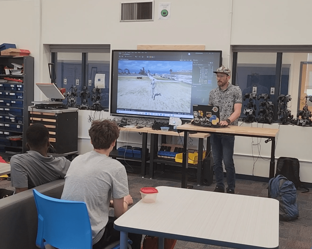
Part 3: Turning Photos into a Video Game World
The real magic happened when we brought that data back inside the classroom. Jay introduced us to photogrammetry—the science of extracting 3D data from photography.
By feeding our aerial photos into specialized mapping software, the computer stitched the flat images together based on their shared visual points, creating a highly detailed 3D digital twin of our school yard and staff parking lot (I think more work was done in advance then what Jay fully admitted). But he didn’t stop there. To top off the presentation, Jay imported our brand-new 3D school scan directly into Unreal Engine—the exact software used to build massive, AAA video games. Within minutes, we were using a controller to walk around the outside of our own school as if it were a level in a video game.
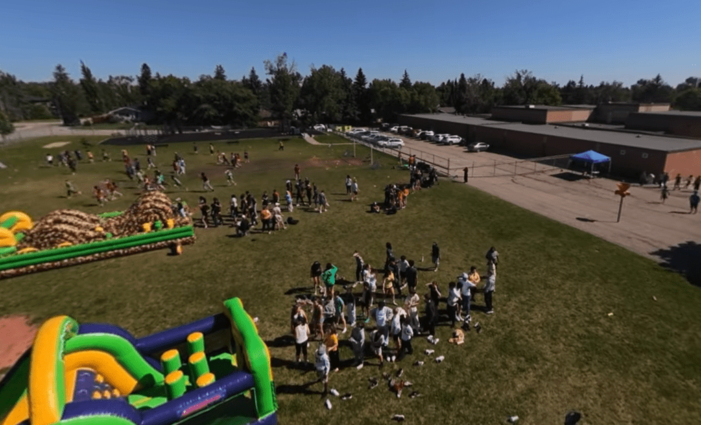
The students ended our morning by taking STEMIAs fleet of drones outside for a flight in the school yard. A perfect end to a perfect day!
The Big Takeaway: Drones are no longer just toys for taking cool videos; they are powerful data-collection tools bridging the gap between engineering, geography, and virtual reality.
A massive thank you to the SAIT team, Allister , Marwan , and Jay, for bringing their incredible fleet to our school! Your expertise, energy, and patience in showing us the entire pipeline from flight paths to game engines made for an unforgettable day. Thank you for opening our eyes to where a career in geospatial technology can take us.